
Visible Infrared Imaging Radiometer Suite (VIIRS)
The Visible Infrared Imaging Radiometer Suite (VIIRS) is one of the key instruments onboard the Suomi National Polar-Orbiting Partnership (Suomi NPP) spacecraft, which was successfully launched on October 28, 2011. The VIIRS nadir door was opened on November 21, 2011, which enables a new generation of operational moderate resolution-imaging capabilities following the legacy of the AVHRR on NOAA and MODIS on Terra and Aqua satellites. The VIIRS empowers operational environmental monitoring and numerical weather forecasting, with 22 imaging and radiometric bands covering wavelengths from 0.41 to 12.5 micrometers, providing the sensor data records for more than twenty environmental data records including clouds, sea surface temperature, ocean color, polar wind, vegetation fraction, aerosol, fire, snow and ice, vegetation, and other applications. Results from the on-orbit verification in the postlaunch check-out and intensive calibration and validation have shown that VIIRS is performing very well.
Mission Notice (for related events, please see event log database in the table above):
1/12/2017: Starting from 14 :18 UTC on January 12, 2017, the Suomi NPP VIIRS Day/Night Band began to be produced operationally use STAR delivered calibration parameters based on onboard and pitch maneuver data, which were previously delivered by external partners based on dark ocean special collect data. STAR has improved the calibration which will result in better radiometric quality especially for low radiances. With the new calibration, users should expect to see a significant reduction of erroneous negative radiances especially during new moon.
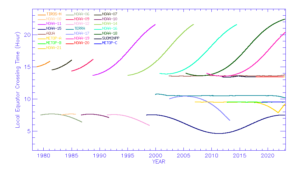
05/01/2014: On May 1 2014, Suomi-NPP will be designated as the primary afternoon orbit satellite for supporting NOAA's environmental monitoring mission. This designation is used mainly for managing and prioritizing mission resources that share common services. NOAA-19 will serve as the Prime Services Mission to continue supporting SARSAT and A-DCS services. Observational data from NOAA-19’s suite of instruments (AVHRR, AMSU-A, HIRS, MHS, SEM and SBUV) will likewise be collected, processed and distributed to users. In the interim, NOAA will continue evolving our data delivery infrastructure capacity in the near future to better serve the wider community since new mission satellites like Suomi-NPP are capable of generating large data volumes - up to 3.9 TB per day.
As the primary afternoon orbit satellite, Suomi-NPP will continue its shared mission objectives of supporting NOAA's operational missions, providing science data continuity for NASA's EOS missions and serving as risk reduction for the Joint Polar Satellite System (JPSS) follow-on mission.
05/01/2014: After extensive studies of both postlaunch and prelaunch calibration data, the
What you should expect to see?
The calibrated radiance/reflectance in the
This change should reflect an improvement in the calibration consistency/accuracy.
If you observe larger than expected changes, or if you need more information, please contact members of the
04/10/2013: The modulated
12/11/2012: Wolfe et al., Suomi NPP
VIIRS paper:
Cao, C., F.
Cao, C., X. Shao, X. Xiong, S. Blonski, Q. Liu, S. Uprety, X. Shao, Y. Bai, F. Weng, Suomi NPP
Uprety, S., C. Cao, X. Xiong, S. Blonski, A. Wu, and X. Shao, 2013, Radiometric Inter-comparison between Suomi NPP
For questions and comments, please contact yan.bai@noaa.gov.